Indianapolis Area Census Map Sheet Number 18
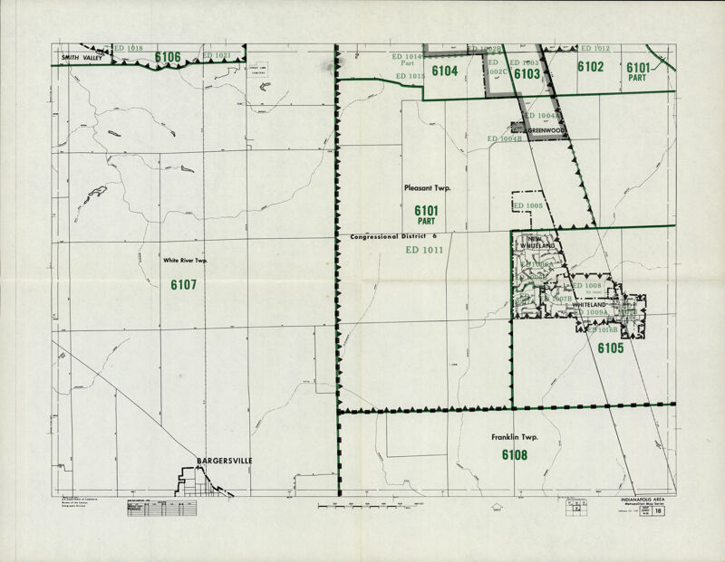
The Indianapolis area census map shows congressional districts and White River, Pleasant and Franklin townships.

Date/Date Range
May 1st, 1971
Type
Subjects