Councilmanic District Maps, c. 1970
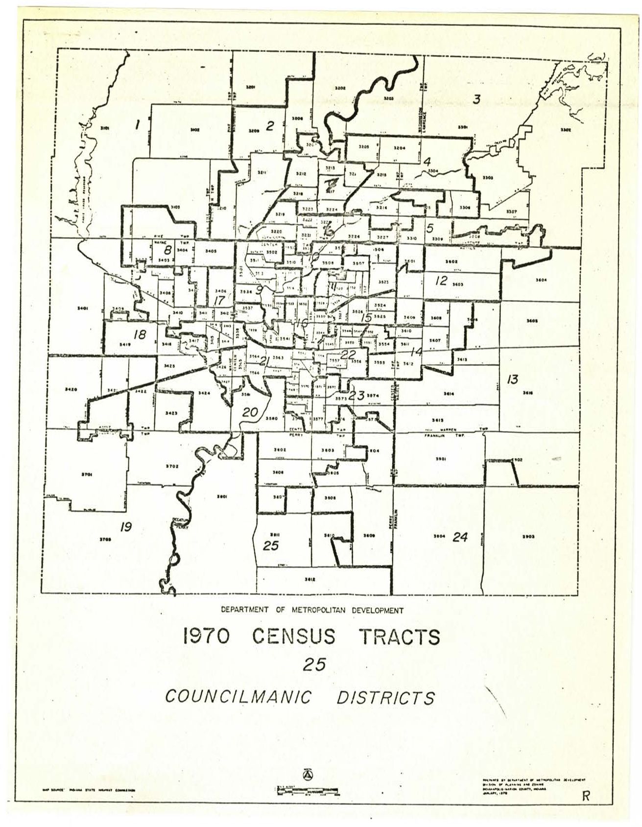
Maps of councilmanic district boundaries and population totals following the implementation of UniGov.
Date/Date Range
1970
See Also
Theme
Please carefully review the terms and conditions of this website before logging in to a digital backpack.
Maps of councilmanic district boundaries and population totals following the implementation of UniGov.
1970